A crossroads with Roman roots
Stane Street runs straight through the middle of Billingshurst as the modern A29, and the village's oldest building, St Mary's parish church, stands on high ground at the historic centre, built on the site's original sandstone hillock.
An old centre with newer estates around it
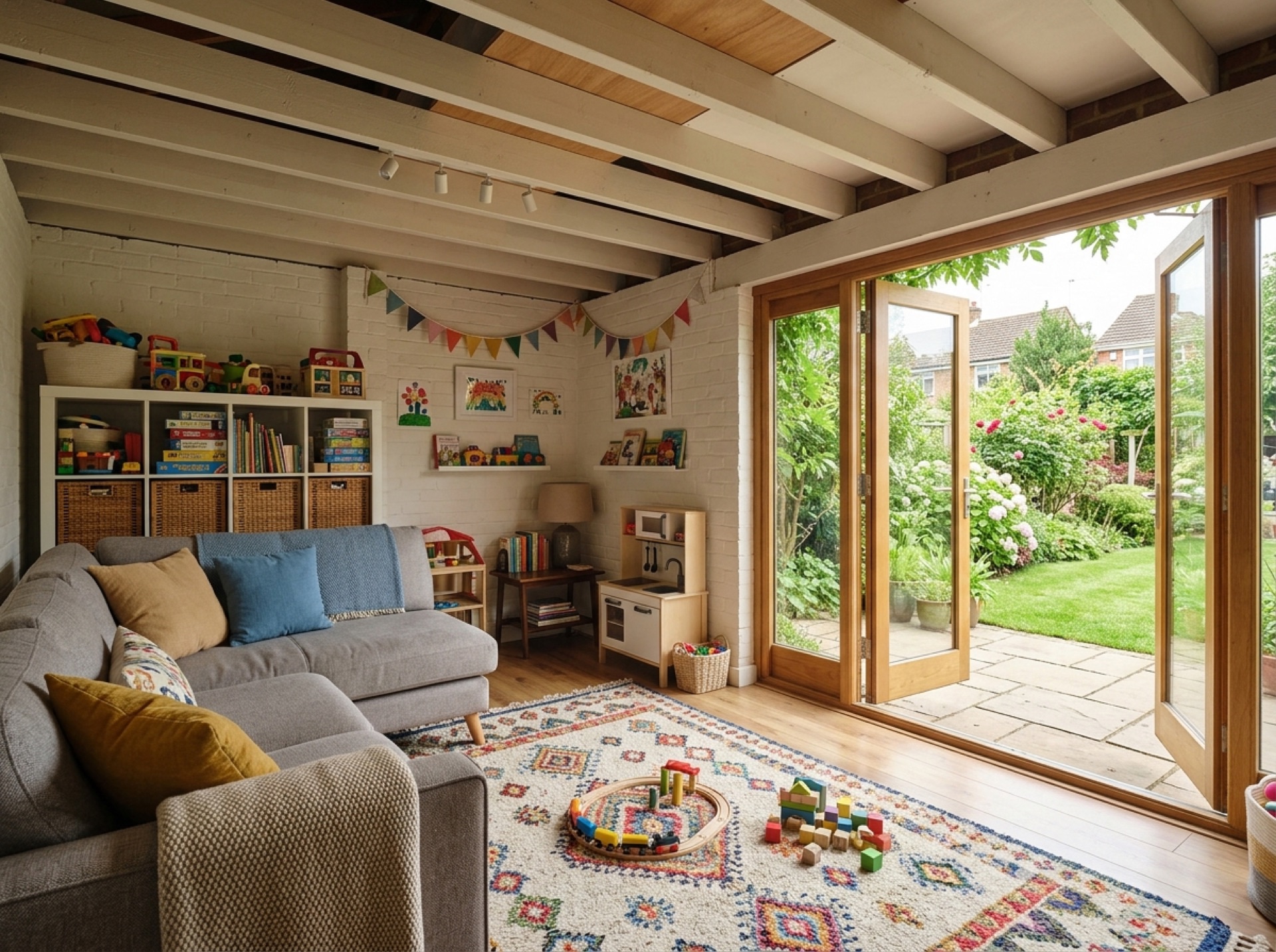
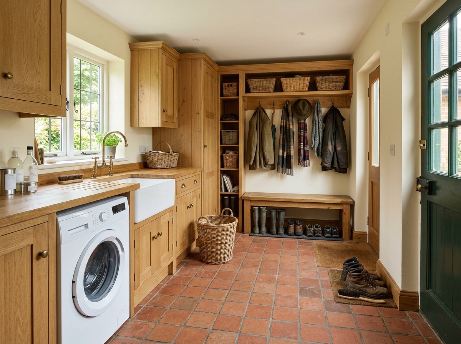
Billingshurst's centre keeps much of its older character, while newer housing has grown up around it as the village has expanded, so garage types range from older standalone brick outbuildings to more recent integral garages built as part of the house.
Council and distance from Horsham
Horsham District Council covers planning across Billingshurst, which sits around six miles south-west of Horsham town centre along the A29.
Frequently asked questions
Which council covers Billingshurst?+
Horsham District Council covers planning and building control for Billingshurst.
How far is Billingshurst from Horsham?+
Billingshurst is around six miles south-west of Horsham, mostly along the A29.
Nearby areas
Services
Useful local links
- Crawley Borough Council – Planning — The planning authority for Crawley, which sits outside the Horsham district boundary.
- GOV.UK – Planning permission: when you need it — Government guidance on when planning permission is required in England and Wales.
- GOV.UK – Party Wall etc. Act 1996 guidance — Government guidance on notifying neighbours and resolving disputes over shared or boundary walls, relevant to attached garage conversions.
- Planning Portal – Garage conversion — National guidance on when planning permission is needed for a garage conversion in England.
- Planning Portal – Extensions — National guidance on permitted development rules for single-storey house extensions.
- Planning Portal – Outbuildings — National guidance on permitted development rules for garden buildings and outbuildings, including height and coverage limits.